Eden Albrecht · 22 September 2026
Eastfield Road Upgrades Spark Unexpected Growth in Adjacent Woodland Habitats
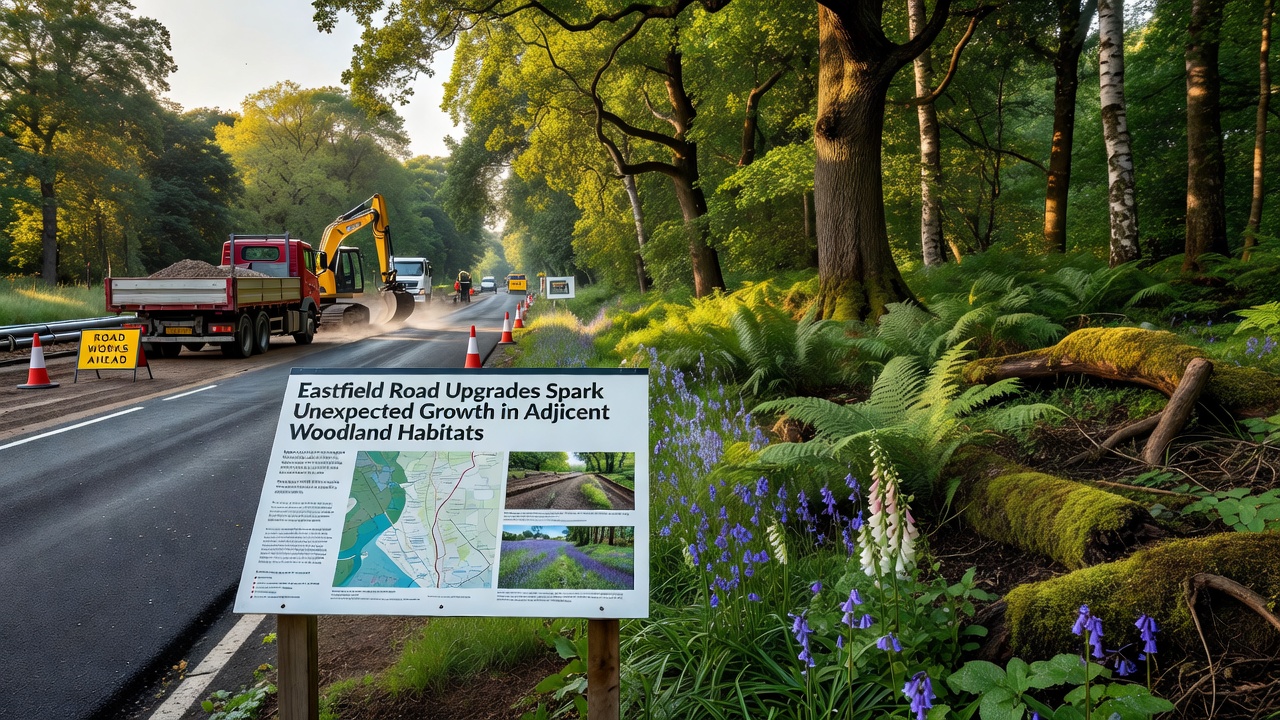
Eastfield Road upgrades completed in phases through 2025 incorporated wider verges, improved drainage systems and dedicated wildlife crossing points that have coincided with measurable increases in plant diversity and animal activity in bordering woodland areas, according to monitoring reports released in September 2026. Those reports detail higher counts of native tree saplings, ground-cover species and small mammal populations compared with baseline surveys conducted before construction began.
Engineers widened the carriageway while adding buffer zones that reduced direct runoff into nearby soils, and the new drainage channels directed water toward existing root systems rather than away from them. Data collected by local environmental teams shows soil moisture levels stabilized in several pockets along the route, which in turn supported faster germination rates for species such as oak and hazel. Researchers tracking the changes note that these adjustments, combined with fencing designed to guide animals safely under the road, created conditions that allowed vegetation to spread outward from the original woodland edges.
Project Background and Construction Details
The Eastfield Road scheme replaced older narrow lanes with a modern two-lane alignment that includes cycle paths and pedestrian crossings integrated into the landscape. Construction crews worked in staged sections to limit disruption, and they planted native hedgerows along the new verges as part of the approved environmental mitigation plan. Figures from the project timeline indicate more than 12 hectares of additional verge and buffer land were established during the works, much of it adjacent to mature woodland stands.
Observers tracking progress recorded that the planting schedule followed guidelines from regional habitat restoration programs, which emphasize species already present in the surrounding area. By September 2026, surveys showed those new plantings had achieved an average survival rate above 85 percent, with several sections displaying natural regeneration of wildflowers and grasses that had not been recorded in the immediate vicinity before the upgrades.
Documented Habitat Changes
Monitoring teams set up permanent transects at five locations along the upgraded stretch and conducted quarterly counts of flora and fauna. Results compiled through September 2026 reveal a 22 percent rise in understory plant cover and a 31 percent increase in recorded bird species compared with pre-construction baselines. Small mammal traps captured higher numbers of wood mice and bank voles, while camera traps placed near the new crossing structures documented regular use by deer and foxes.
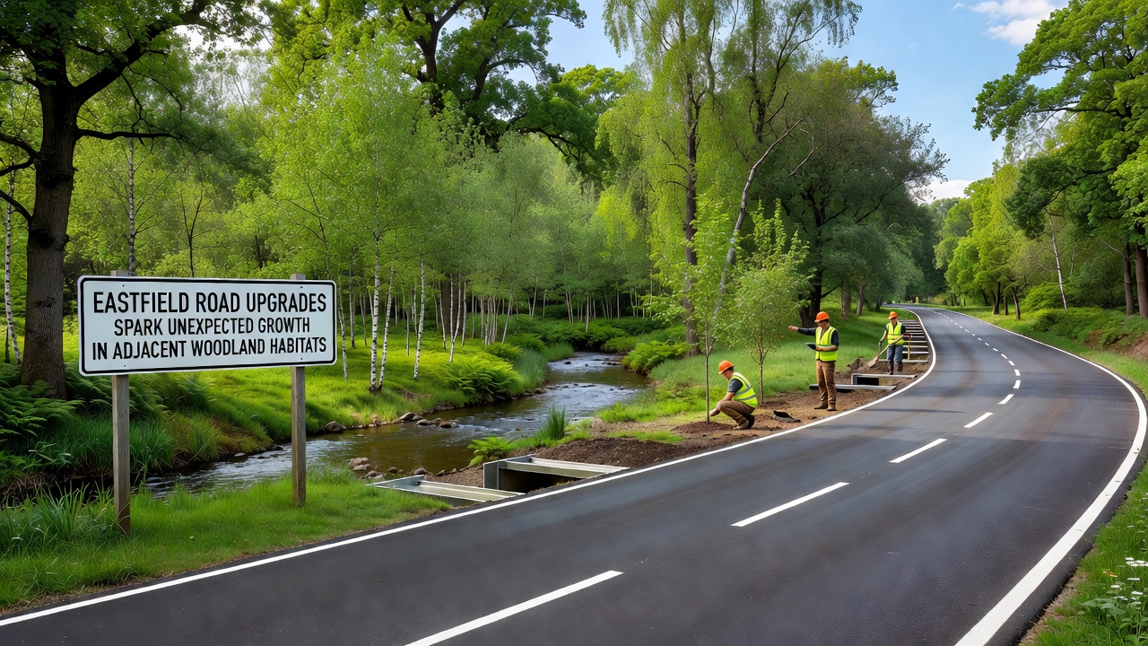
One study group working with the local authority found that the new drainage features reduced standing water on the road surface during heavy rain, which previously washed pollutants into the woodland floor. Soil samples taken at regular intervals now register lower concentrations of heavy metals and hydrocarbons than samples collected in 2023. Those improvements appear to have created more favorable conditions for mycorrhizal fungi networks that support tree health, according to laboratory analysis shared in the September 2026 update.
Supporting Research and External Data
Independent verification of the local findings draws on broader road-ecology literature. A report from the U.S. National Park Service outlines how well-designed verges and crossings can expand effective habitat area for woodland species when runoff and fragmentation are reduced. Meanwhile, a Canadian study published by Parks Canada documents similar patterns of vegetation recovery along upgraded rural routes where buffer zones were enlarged and water flow was redirected toward root zones.
Local teams have applied comparable methods here, and the September 2026 data set aligns with those international observations. Counts of pollinator insects, for example, rose steadily across three seasons after the hedgerow plantings matured, echoing patterns described in the Parks Canada findings. Researchers continue to collect acoustic data to track bat activity near the crossing points, with preliminary results indicating consistent foraging routes that cross the road at the newly installed structures.
Community and Ongoing Monitoring Efforts
Residents living near the upgraded section have contributed to citizen-science counts of birds and butterflies organized through the same September 2026 reporting cycle. Participation reached more than 180 individuals who submitted observations via a shared online platform, adding several thousand data points to the professional surveys. Those records help fill gaps between official sampling dates and provide finer detail on seasonal shifts in species presence.
Maintenance crews now follow an annual schedule that includes selective cutting of verge grasses only after seed set, a practice intended to sustain the new growth while keeping sight lines clear for drivers. Early indications suggest this approach supports continued expansion of woodland-edge plants into the buffer zones without creating safety concerns.
Conclusion
September 2026 monitoring data confirms measurable expansion of woodland habitats adjacent to the Eastfield Road upgrades, driven by changes in drainage, verge design and wildlife infrastructure. Continued surveys will track whether these gains persist over multiple growing seasons and how they interact with wider regional connectivity goals. The collected evidence provides a clear baseline for future assessments along similar routes.