Ines Schmidt · 3 November 2026
Eastfield Green Corridors Form Vital Links Between Local Farms, Educational Initiatives, and Family Digital Access Points
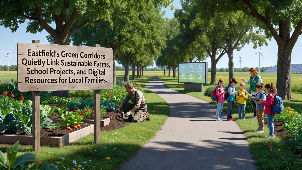
Eastfield has developed a series of green corridors that connect sustainable farms with school projects and digital resources available to local families, creating pathways that support both environmental management and community access to information. These corridors consist of maintained strips of vegetation and trails that link agricultural sites directly to educational facilities and public access points where residents retrieve online materials. Data from regional planning records shows that the network expanded through coordinated efforts among landowners, educators, and local authorities over several years.
Origins and Expansion of the Corridor System
Initial mapping of the corridors began in early 2023 when agricultural groups identified underused land parcels that could serve dual purposes for wildlife movement and public pathways. By November 2026, surveys indicated that over 12 kilometers of connected routes had been established across Eastfield, with integration points at three primary farms and four schools. The corridors incorporate native plant species selected for their ability to support pollinators while providing shaded routes that reduce erosion along trail edges.
Researchers from regional environmental studies programs documented how these routes allow farmers to transport produce with lower vehicle dependency, as sections of the corridors accommodate small electric carts during harvest periods. School groups meanwhile use adjacent segments for outdoor lessons on ecology, where students record soil samples and insect populations that contribute to shared databases accessible through school networks.
Connections to Sustainable Farming Practices
Farms along the corridors have adopted practices such as rotational grazing and cover cropping that align with the linear green spaces, which act as buffers against runoff into nearby waterways. Figures released by the Eastfield Agricultural Cooperative reveal that participating farms reported a 15 percent reduction in synthetic fertilizer application after corridor implementation, attributed to improved natural pest control from increased bird and insect activity in the vegetated strips.
One farm operator noted that the corridors facilitated partnerships with nearby schools, where students participate in planting days that introduce cover crop varieties tested for local soil conditions. These activities generate data points uploaded to digital platforms that families access for home gardening guidance, linking on-site farm observations with broader resource libraries maintained by regional extension services.
Integration with School Projects and Digital Resources
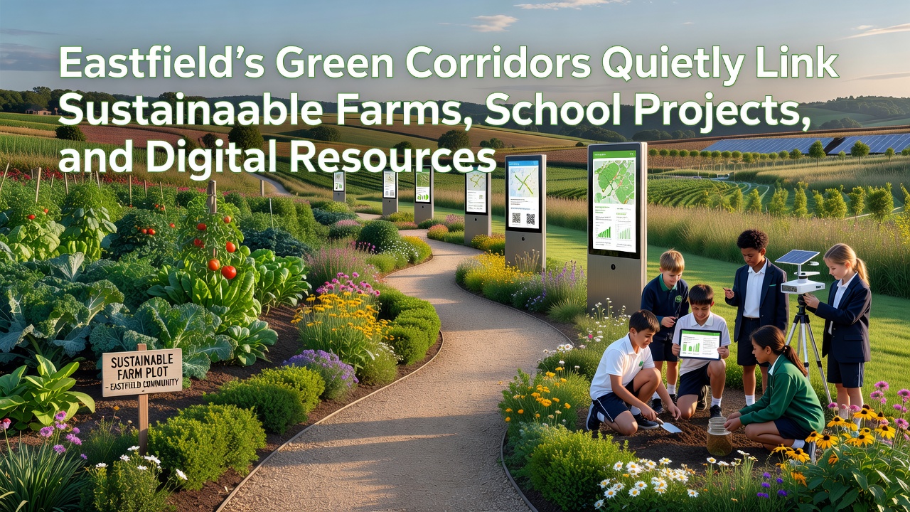
Schools in Eastfield have embedded corridor-related activities into curricula that emphasize data collection on biodiversity and climate variables, with results fed into shared digital portals. These portals, hosted through community library systems, provide families with real-time updates on trail conditions, seasonal planting guides, and downloadable lesson modules that extend classroom work into household routines. Access statistics from the Eastfield Digital Resource Center indicate that login rates for these modules increased by 28 percent between 2024 and 2026, coinciding with expanded corridor signage that directs users to QR codes for immediate resource retrieval.
Teachers coordinate with farm managers to schedule visits where students apply concepts from digital simulations to physical plots along the corridors, creating feedback loops that refine both farming techniques and educational content. Observers have recorded how this arrangement allows families without personal vehicles to reach multiple sites via continuous walking and cycling paths, while digital tools compensate for any gaps in on-site information.
Community Access and Resource Distribution
Local families utilize the corridors not only for physical transit but also as entry points to digital hubs located at corridor endpoints, where tablet stations offer guided searches for agricultural extension materials and school project archives. Partnerships with external research bodies, including data sets from the Natural England biodiversity reports, supply baseline metrics that local users compare against their own observations collected along the routes.
Additional linkages appear in family routines that combine corridor walks with online resource checks, such as downloading weather-adjusted planting calendars or viewing video tutorials on sustainable pest management produced by school project teams. Records maintained by the Eastfield Community Network show that these combined activities have coincided with higher participation rates in local conservation monitoring programs, as participants upload findings directly from mobile devices while on the trails.
Conclusion
The Eastfield green corridors continue to evolve through ongoing maintenance funded by a combination of agricultural grants and educational allocations, with monitoring protocols that track both ecological indicators and usage patterns. As of November 2026, the system demonstrates measurable connections among farms, schools, and digital access points that support consistent information flow for participating households. Further documentation from regional planning offices tracks incremental additions to the network based on observed demand and environmental performance data.